
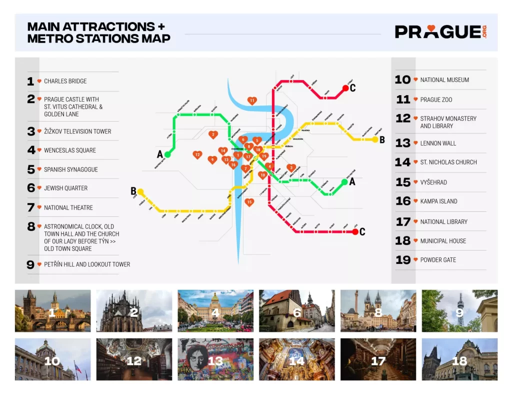
Navigieren Sie leicht durch die Stadt mit dem Prager Metroplan

Die Metroplan Prag bietet einen detaillierten Einblick in das öffentliche Verkehrssystem der Stadt, das für jeden Besucher unerlässlich ist. Mit dem Metroplan Prag in pdf hilft Ihnen, Ihre Fahrten mit der U-Bahn in der tschechischen Hauptstadt Prag schnell zu planen.
Prags Top-Attraktionen Dazu gehören die Karlsbrücke, die Prager Burg, der Altstädter Ring und die Astronomische Uhr.
Aber was genau ist diese Prager Metro?
Die Metro ist das wichtigste Verkehrsmittel der Stadt Öffentliche Verkehrsmittel in Prag. Derzeit ist die Karte des Prager U-Bahn-Netzes besteht aus 3 Linien - Route A (grüne Linie), Route B (gelbe Linie) und Route C (rote Linie).
Die 65 Kilometer lange Strecke bedient 61 Bahnhöfe, von denen drei (Muzeum, Mstek und Metro Florenc in Prag) dienen als Umsteigepunkte. Im Jahr 2022 begannen auch die Arbeiten an der späteren Metro-Linie D (die blaue Linie).
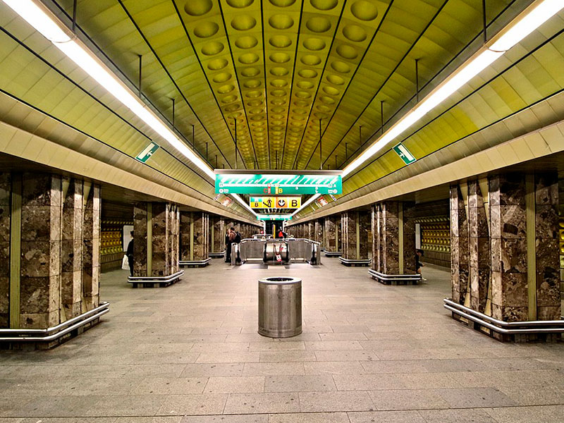
Die Prager U-Bahn
Die Prager Metro ist ein Schnellbahnsystem für Prag, die Hauptstadt der Tschechischen Republik. Sie ist nach der Budapester Metro das zweitälteste U-Bahn-System in Mitteleuropa.
Die Prager Metro ist eine bequeme Art, sich in Prag fortzubewegen. Sie ist schnell, effizient und erschwinglich. Die Metro verkehrt von 5:00 Uhr morgens bis 1:00 Uhr nachts, und Fahrkarten können an jeder Metrostation gekauft werden.
Benutzung der Prager Metro
Um die Prager Metro zu benutzen, müssen Sie eine Fahrkarte kaufen. Fahrkarten können an jeder Metrostation sowie an einigen Kiosken und Tabakläden gekauft werden.
Es gibt verschiedene Arten von Fahrkarten, je nachdem, wie lange Sie die Metro benutzen möchten. Einzelfahrkarten gelten für eine Fahrt, Tageskarten für 24 Stunden.
Sobald Sie eine Fahrkarte haben, müssen Sie diese an den gelben Automaten am Eingang der U-Bahn-Station entwerten.
Um in einen U-Bahn-Zug einzusteigen, müssen Sie auf die Ankunft des Zuges warten und dann Ihre Fahrkarte auf das gelbe Lesegerät am Bahnsteig tippen.
Tipps für die Benutzung der Prager Metro
- Achten Sie auf Ihre Umgebung und bewahren Sie Ihr Hab und Gut in Ihrer Nähe auf.
- Machen Sie ohne Erlaubnis keine Fotos oder Videos von den Zügen oder Stationen der U-Bahn.
- Rauchen Sie nicht in den U-Bahn-Stationen oder Zügen.
- Nehmen Sie Rücksicht auf andere Fahrgäste.
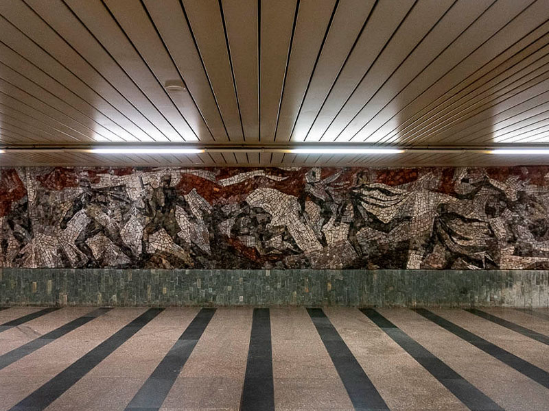
U-Bahn-Stationen in Prag
An den drei Kreuzungspunkten der drei Metrolinien der Stadt finden Sie diese Umsteigemöglichkeiten Metrostationen in Prag:
Diese Prager Metrostationen verbinden verschiedene Linien. Jeder der gut ausgeschilderten Umsteigewege ist in nur drei bis fünf Minuten zu Fuß zu bewältigen. Unter ihnen sind:
Můstek
Er befindet sich am Ende des berühmten Wenzelsplatzes und dient als Verbindung zwischen den Linien A und B.
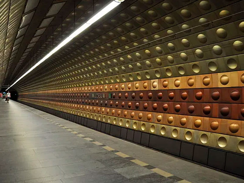
Muzeum
An seinem nördlichen Ende befindet sich der Umsteigebahnhof Wenzelsplatz, an dem sich die Linien A und C treffen.
Florenc
Metro Florenc in Prag ist die primäre Busklemme, an der die Leitung B auf C trifft

Download einer Prager Metrokarte
Wenn Sie keine der Top-Sehenswürdigkeiten der Stadt verpassen wollen, sollten Sie einen Metroplan Prag in der pdf-Version ist die bequemste Art, einen detaillierten Führer für öffentliche Verkehrsmittel mit sich zu führen.
Die Prager Altstadt liegt nicht nur günstig in der Nähe der meisten U-Bahn-Haltestellen, sondern auch die Buchung von U-Bahn-Tickets ist ein Kinderspiel. Es ist sicher zu sagen, dass die Metro die beste Wahl ist, wenn Sie schnell zu den meisten touristischen Zielen gelangen wollen.